Madeira
In less than 300 square miles, Madeira offers a more diverse landscapes than many large countries.
How to Get Around
Madeira is a very mountainous island with a network of tunnels and cliffside roads to allow travel between the different regions.
While there is a bus on the island, the most efficient way to enjoy your time there is to rent a car. The driving laws are similar to those in the US and a license from an English speaking country is accepted. The biggest difference is in the roads themselves. There are two types of roads in Madeira, new and traditional. The new roads use an extensive network of tunnels to seemingly teleport you from one area to the next. These roads have wide lanes and are quick and easy to travel on. The traditional roads are found outside of the main city centers and are quite different. They will require you to have some confidence in your driving ability. The roads go up and down steep hills with constant sharp turns and drop-offs. These roads are narrow and will require you to pull over when encountering large vehicles. The roads are well maintained and nearly all paved. As with any island, gas prices are very high. However, the small size of the island limits the impact they will have on your budget. Gas stations are found throughout the island.
There are a few important factors in choosing a rental car. First, you need to make sure to rent something that has enough horsepower. Some economy class rentals may struggle to get you up the steep mountain climbs. With that said, I wouldn’t recommend getting anything too big either. A large, American size car will be difficult to navigate on the traditional roads I referenced earlier. For reference, our rental was a Nissan Juke and I thought it was perfect.
How to Get Around


Where To Go
While Madeira is a small island, there are many distinct areas to visit. A half-hour drive can take you from beaches to highlands to forests.
Cloud Mountains
City Center
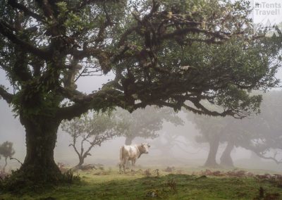
Fanal Forest
Sunrise Viewpoint
Fun Coastal Town
Sunset Viewpoint
Beach for Swimming
SOUTHEAST
Most of the islands population resides here. The south is also shielded from much of the rain. Accommodation prices are notably higher in the population centers. However, as with any population center, you’ll have easy access to food and shopping options. Experience wise, you’ll be mostly limited to metropolitan activities. Other parts of the island are easily accessible though if that’s a concern.
NORTH
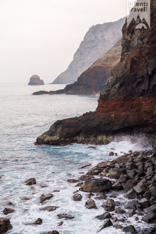
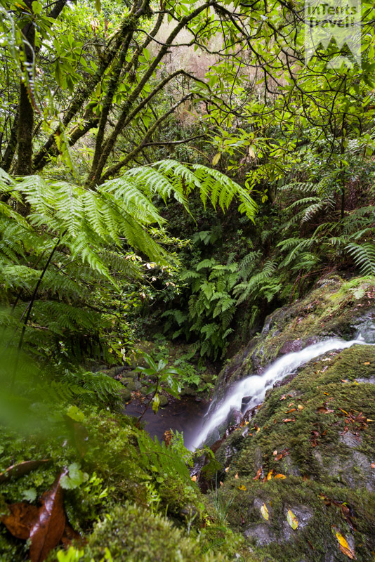
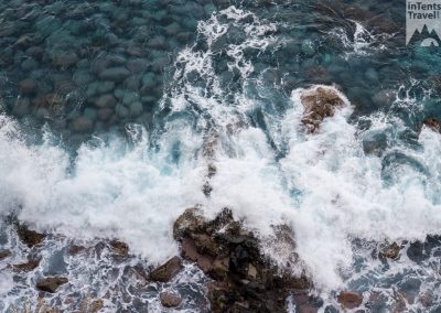
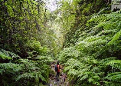
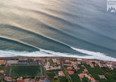
The northern side of the island is far more traditional than the south. Here you’ll find fewer resorts and hotels. There are still restaurants and grocery stores but the distances between them are further. Another downside is the north receives more rain. However, you’ll find more hikes nearby particularly ones featuring the rainforest and waterfalls. In general, I preferred the more natural coastal views here.
CENTRAL
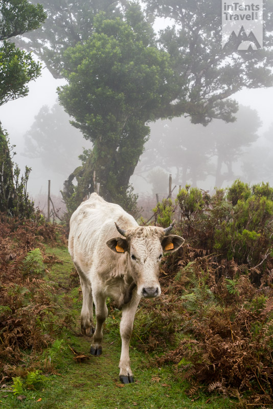
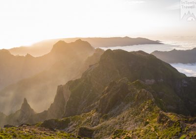
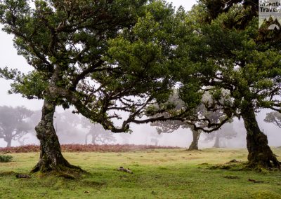
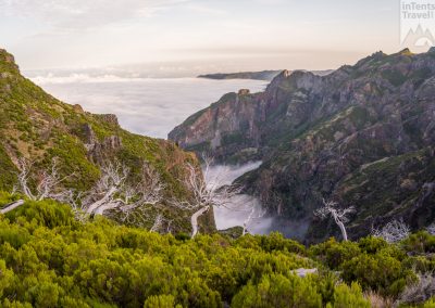
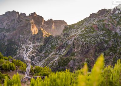
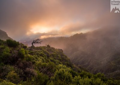
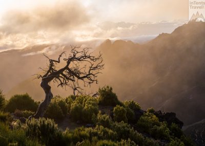
As beautiful as the coast was, this was my favorite part of the island and what I think sets it apart from other island destinations. The highest mountains are located towards the east side. They’re remote, jagged and often shrouded in clouds. Further west, you’ll find some highland areas. Particularly notable is the Fanal forest.
WEST
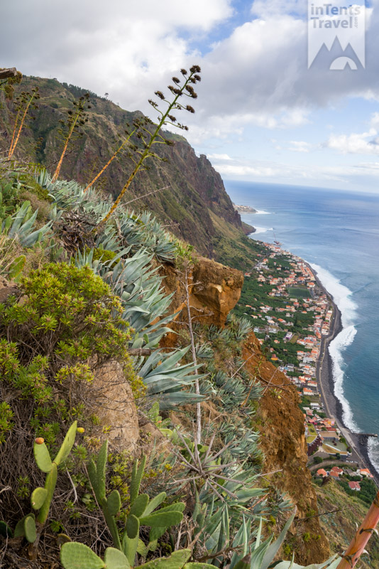
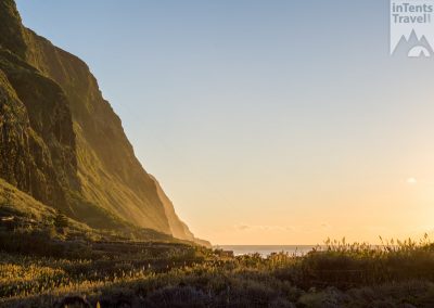
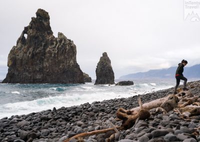
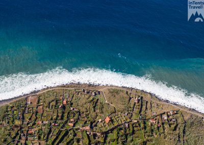
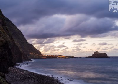
The western side of the island may have been my favorite. In this area, you’ll find dramatic coastal cliffs. The difficult terrain limits the size of the cities. There are numerous coastal hikes along these cliffs and they don’t disappoint particularly if you correctly time them around sunset. This area is drier as well and you’ll find lots of cactus and other desert flora.
Cost
The cost in Madeira are similar to low cost of living places in the United States. It is cheaper than most of mainland Europe. It’s a destination where you can splurge here and there and still keep your trip affordable.
LODGING
You’ll have the usual accommodation choices in Madeira but not the big-name hotel brands. I’m not going to cover staying in a hotel because, simply put, you shouldn’t. We used Airbnb and there were plenty of great properties to choose from. The prices were generally cheap. We rented an entire house near Sao Jorge on the northern side of the island. The house was more expensive than most but still under $100 a night. I did get the impression that tourism to the island was increasing and would expect the lodging prices to increase as well.
FOOD
Restaurant prices were reasonable. Basic sit-down prices were around $10 for a large portion meal. Nicer restaurants were closer to $20 per plate. As with much of Europe, a glass of wine/beer is about the same as bottled water or a soft drink. There were plenty of restaurants to choose from even in the smaller towns. There aren’t any “fast food” type options. Grocery store prices were a little higher than what I’m used to in the United States.
TRANSPORTATION
If you live in the United States, flying to Madeira can be expensive. However, that could be changing as a direct flight from New York began after we visited. We were able to find a flight from Birmingham for less than $600. Without going into all the details, I suspect this was a pricing error of some sort since it was drastically lower than normal. The flight had several connections and wasn’t particularly pleasant but well worth it if you’re staying a week plus. Once you get there, there are plenty of vehicle rental options and the prices fairly low. As mentioned earlier, gas prices are very high (nearly double that of the US).


Resources
There were several key resources that we used to help us better experience the island.
WEBCAMS
There are live webcams located throughout Madeira. It’s not uncommon for the weather to be very regional. With a flexible schedule, you’ll be able to plan your day around the weather and experience the part of the island where it’s most ideal. There are numerous websites where you can stream the webcams. I used this one but there may be better options.
GOOGLE MAPS
This is a go-to app for any trip but it was particularly helpful for driving in Madeira. I kept it up at all times. Even when I knew the route, it allowed me to be prepared for the frequent sharp turns. It would lose the GPS location in tunnels and act strange. So, I’d have to pay close attention to know which way to go at the roundabouts after immediately exiting them.
MAPS.ME
This app is similar to Google Maps but is designed to function completely offline. It was also far better for non-driving routes. Most of the hikes we went on could be found on this app. I also used it to import GPX files of routes other people had taken. It was a key route-finding resource for several of the non-official hikes we took.
TRAVEL BLOGS
There were a few travel blogs that deserve to be mentioned here. They were used to help determine the best hiking trails for us and to discover some offbeat ones. Among the websites I found most useful, this one and this one stuck out.
Select Hikes
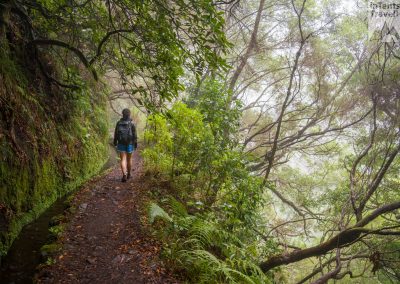
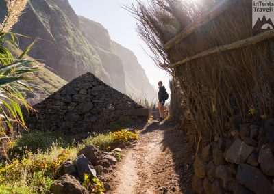
Madeira is a great hiking destination. Not only are there endless hikes to choose from, the trails are better maintained than in any other country I’ve visited. There are two categories of hikes: Levadas and Veredas. Levadas travel alongside an aqueduct system. They are mostly flat and suitable for any age or fitness level. Veredas are mountain trails. Some of them are easy but others can be very difficult. One unique feature of the hikes is that many of them have tunnels so it’s important to bring a headlamp.
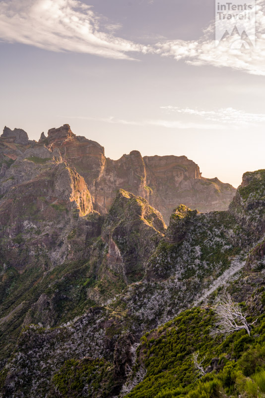
Achada do Teixeira
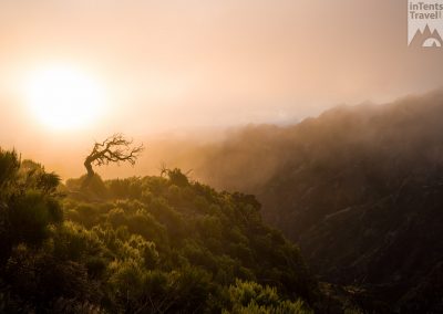
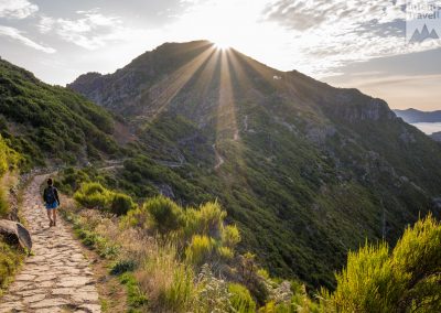
This is the easiest route to Pico Ruivo, the highest point on the island. From the parking lot, it’s a 2 mile hike to the summit. It’s uphill the entire way but not too steep. There’s a rock path the entire way and the trail can be easily walked in the dark if you’re trying to catch sunrise/sunset. The draw for this hike is the incredible mountain views. The valleys below are often filled with clouds offering a unique experience. It’s important to check the weather (and webcam) prior to visiting as the clouds can sometimes consume the entire mountaintop.
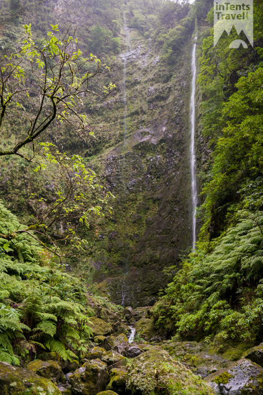
Levada Caldeirão do Inferno
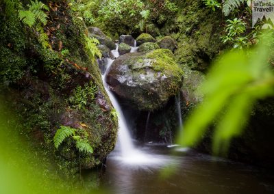
This is one of the best waterfall hikes but the mountain views are great as well. It is a longer hike at 10.5 miles but features a number of highlights. The start of the hike is rather basic going through a forest. After a mile or so, it begins to follow a Levada along the edge of a canyon. About 3/4 of the way in is the first large waterfall. The trail can end there but the remainder is definitely the highlight. It takes you deep into the forest, through caves and a narrow canyon. Eventually ending at another waterfall. It’s a hike that offers consistently good views all along the way with very little elevation gain to deal with.
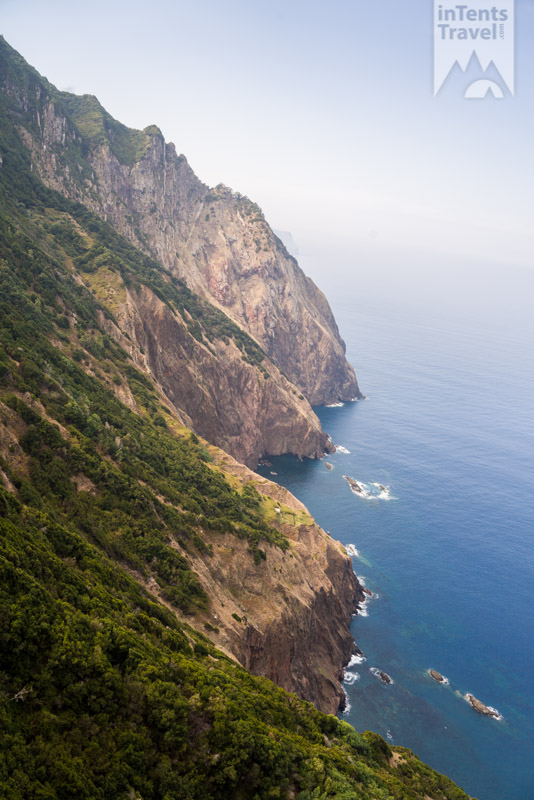
Vereda do Larano
This is an excellent coastal hike. The trail is incredibly maintained and cut into the cliffside. It stays high, offering great views of the sea below. There are railings to provide assurance along all the most exposed sections. There is some elevation change but it’s minimal. The full length is 8 miles each way but you don’t need to do the whole thing to have an excellent experience. The hike should be saved for a clear day when the impressive views can be fully appreciated.
What are you waiting for?

