SOUTH AMERICA – ARGENTINA – EL CHALTEN
El Chaltén: A Hiker’s Paradise

Jeffrey Palmer
5 November 2015
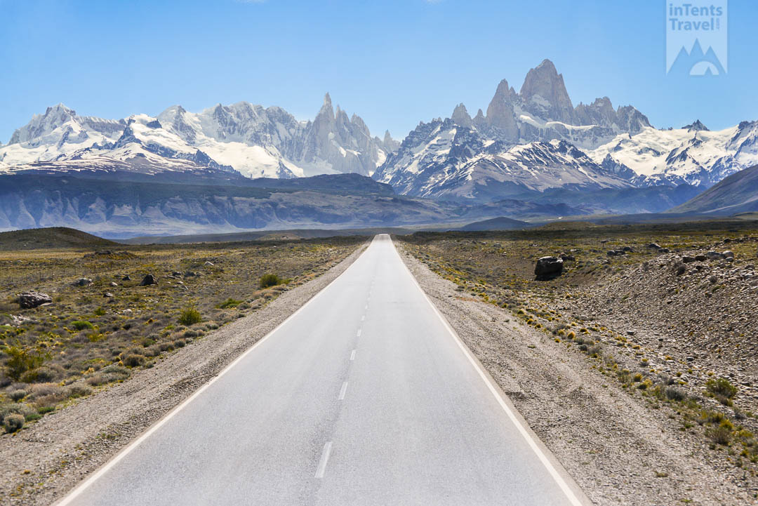
I came to El Chaltén from El Calafate. Earlier in the week, I had spent five days in Torres del Paine National Park. After completing what is often regarded as the best hike in the world, I was prepared to be underwhelmed. That changed upon arrival; as the bus turns to travel alongside Lake Viedma, Fitz Roy becomes visible in the distance. As the bus draws closer, the mountains begin to dominate the landscape. The city is spread across the rolling hills below the snow covered peaks. Every bus makes a required stop at the park headquarters. Here you will be briefed on the area and the hiking possiblities. I’ll give an overview of the most popular ones.
CHORRILLO DEL SALTO (5 miles)
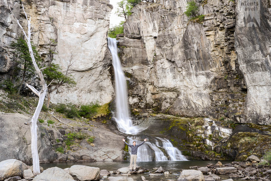
I arrived in El Chaltén late in the afternoon. I quickly found a hostel before beginning the hike to Chorrillo del Salto. The hike is easy to find. Just follow the main street through town until the pavement ends. From here, walk another 1.7 miles until you see the parking area on the left. You will reach the waterfall within a few minutes. The entire hike is flat and only takes about an hour each way. The waterfall itself is at the end of the Chorrillo River where it falls 65 feet before joining with De las Vueltas. When I arrived there was no one at the site except for one man asleep in a tree. After I finished taking some pictures, his friends arrived. A woman offered to take my picture. The language barrier between us made things difficult but the group was very friendly. They invited me to drink with them. It was some type of liqueur and Coca Cola mixed in a blender glass. We passed the glass around for awhile until my (very) limited Spanish had been exhausted. I had only just begun the hike back on the road when I heard honking behind me. I hopped in the car with my new friends and was dropped off at a restaurant they recommended. These types of spontaneous experiences are a large part of what makes travel so amazing. This experience made the hike quite memorable for me but overall it is not a must. However, its location being just outside of the city makes it optimal for filling any small gaps in your schedule.
“It is rare for everything in nature to come together so perfectly.”
The next day I had a lot planned. I was not even sure of the distance involved but I had decided I would hike to both Laguna Torre and Laguna de los Tres using the connector trail. This is a long hike (24 miles) and did not meet anyone else who had done it. The distances listed are roundtrip for completing each independently. If time permits, I would recommend hiking them separately.
LAGUNA TORRE (15 miles)
After picking up some snacks for a trail lunch, I started the day at the southern trailhead. The hike begins by quickly ascending into the mountains before passing alongside a small canyon. From there, the trail winds around a bit before another long, steep approach. After the climb, you will be atop a small ridge. The climbs end as the trail leads back down into the valley where it eventually splits. Stay left. The route to the right is the connector trail. You will soon reach the Rio Fitz Roy and follow it until reaching Laguna Torre. Pictures fail to show the magnitude of Laguna Torre. The lake is very large as are the icebergs floating in it. On the opposite side, you will see a large glacier with Cerro Torre looming behind. The wind coming across the cold waters made it difficult to walk along the steep moraine. With fine sand blowing into my face, I decided to turn around here but the trail does continue further around the lake.
If you are only doing this trail, follow the same path back to town. I backtracked to the earlier split and picked up the connector trail. The first half of this trail is tough. It is about as steep as possible without the use of switchbacks and persist for nearly 2 miles. There is not much to see along this section. Along the last third of the trail the views become more engaging. You will reach a set of beautiful alpine lakes and Fitz Roy will come into view. From here, it is hard to imagine how any trail could reach the summit. Soon the trail will be intersected by the hike to Fitz Roy.
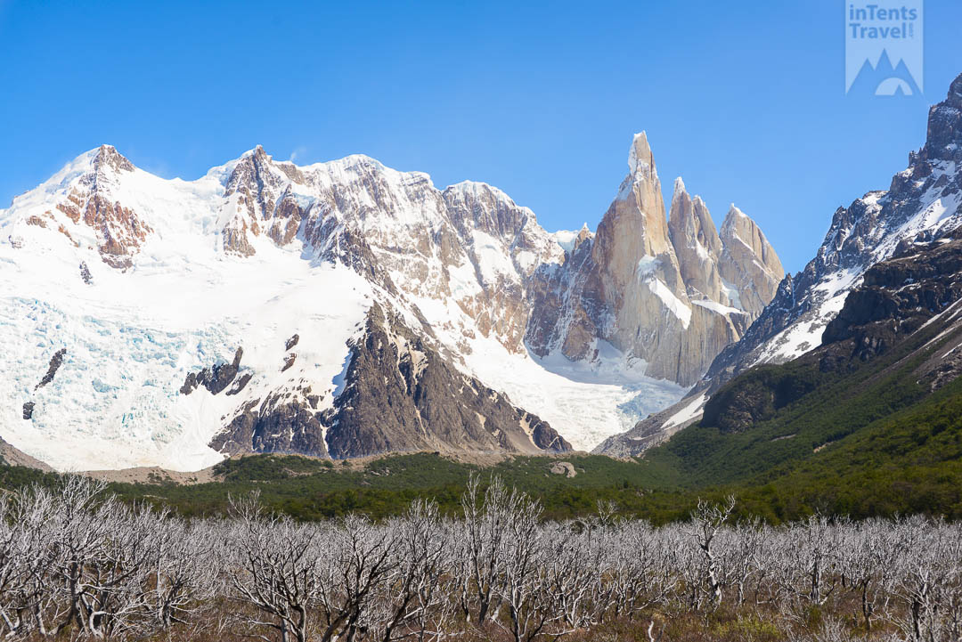
The ominous approach to Laguna Torre.
Photograph by Jeffrey Palmer
LAGUNA DE LOS TRES (16 miles)
I could not get a good sense of the difficulty of much of the Laguna de los Tres trail. I only hiked the downhill direction for all but the final leg. However, I will warn that this final section is the most difficult of any hike I’ve completed. Granted it is only a mile and a half but the grade is extremely steep the entire way. There is a river beside the campsite at the beginning of this final push. If you are low on water, fill up here. The park rangers say there is no need for water sterilization and I can attest it did not make me sick. While the trail is strenuous, each step does provide increasingly impressive views. Once you reach the top, you will be looking down into a bowl consumed mainly by Laguna de los Tres. Proceeding down the hill will allow you to stand at the water’s (or ice’s) edge and appreciate Fitz Roy as it towers above. While the view was definitely the highlight, I was excited to finally open the oreos I’d brought for what was supposed to be my lunch. Make sure to travel around the lake to the left as you will find another lagoon wedged in between the mountains below. When I returned to the main lagoon and looked up, the sun was setting directly behind the top of Fitz Roy. It was a moment I will never forget. It is rare for everything in nature to come together so perfectly. If you have a headlamp or are staying in the campsite, it would certainly be worth sticking around to watch the sun fully set.
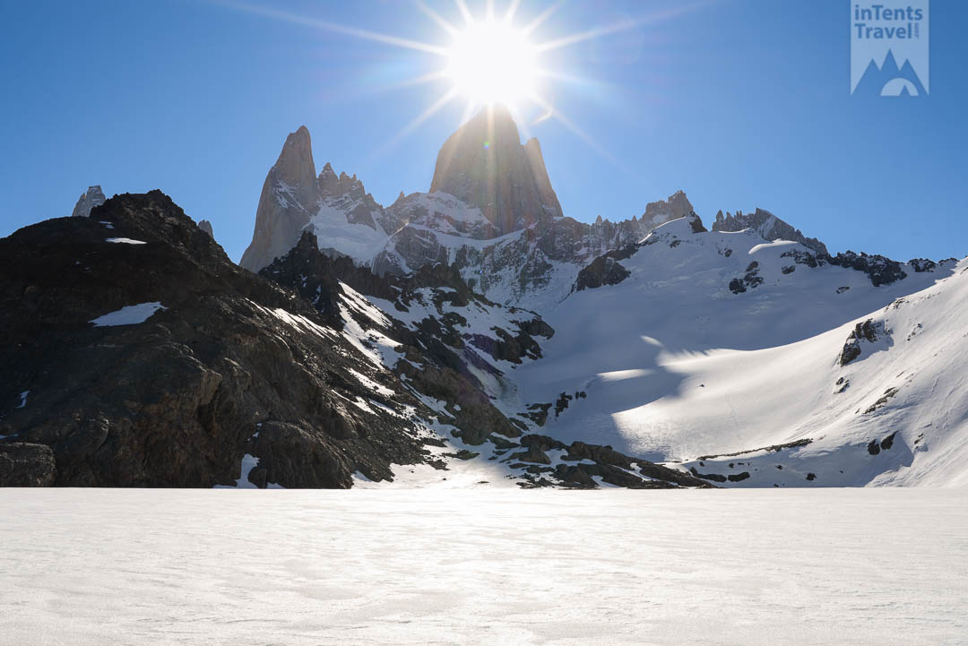
LOMA DEL PLIEGUE TUMBADO (14 miles)
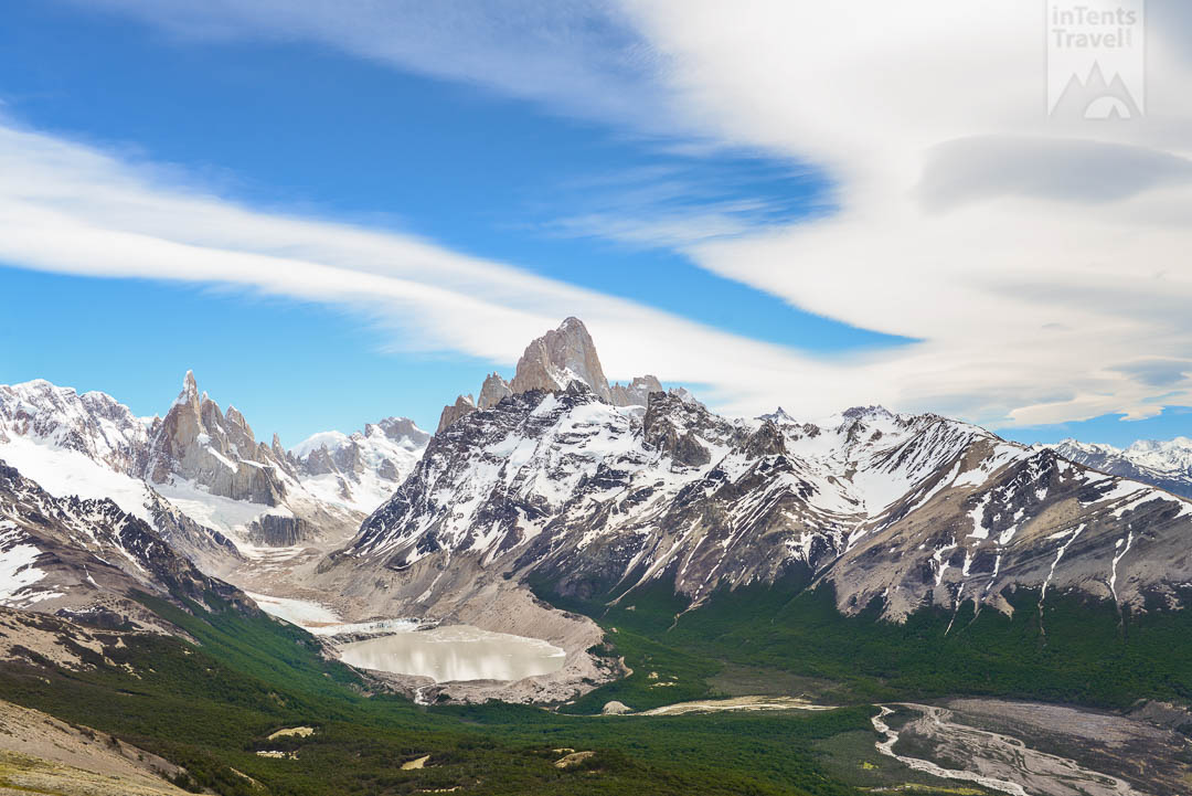
In researching El Chaltén, I had seen numberous pictures of the previous two hikes. This hike was a complete mystery but I decided to make time for it after another hiker described the view. The trail is different than the others as it offers a more all encompasing viewpoint of the area. If you are out of time, there are other short walks to lesser viewpoints as well. The trail starts right next to the Ranger’s station you will visit upon entry. This trail travels around the mountains rather than into them. Along the early portions of the trail you will be pass through empty meadows. The hike is moderate in difficulty. The incline is not too steep but it does continue for the entire hike without many breaks. Eventually passing through a forest, things will change abruptly for the final stage. Here, you will progressively climb up several modest hills. In early November, these hills were covered in a couple feet of snow. Reaching the top of the last bald hill, the view ahead is stunning. Overlooking the area I had hiked to for Laguna Torre the day prior, this distant viewpoint was somehow more beautiful. It is one of the most incredible views I have ever seen. The wind was strong so I crouched behind a large boulder and quietly appreciated what I was experiencing. There is an additional portion of the trail that goes to the top of a substaintial hill. Despite the steep slopes being covered in snow, there was no way I was not going to summit it. While the view of the glacier, lagoon and Cerro Torre was pretty similar from the top, the 360% view it allowed for made it worth the trip. In the distance you could see the desert plains, Lago Viedma and the city of El Chaltén.
I finished the hike just in time to pick up my bags and make it to the bus station 15 minutes before the last ride. If it works out for you, the late afternoon trip back to El Calafate was a great way to end your trip to El Chaltén. Get a seat on the right side and watch the sun set in the distance as mountains fade into a silhouette.
Want new articles before they get published?
Subscribe to our Awesome Newsletter.
